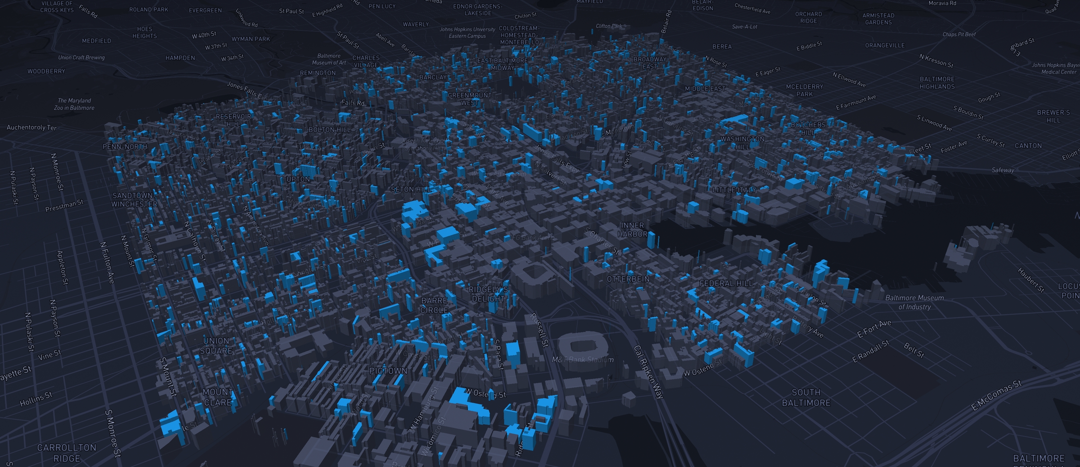
Deepmoire is a specialized web studio focused on interactive maps, geospatial dashboards, data directories, and custom platforms for organizations working with geographic information.
Deepmoire develops custom web platforms where maps, data, automation, and visual interfaces come together.
The studio works at the intersection of geospatial technology, data visualization, front-end development, and product design, helping organizations transform complex geographic information into clear, interactive, and production-ready digital products.
Projects often combine interactive maps, dashboards, searchable directories, custom data structures, automated workflows, APIs, databases, and tailored user interfaces. The goal is not simply to display data on a map, but to create tools that make geographic information easier to explore, communicate, and use.
Experience
Founded by Vincenzo Montefusco, Deepmoire builds on more than eleven years of experience in interactive mapping, GIS-based web applications, and data-driven interfaces.
With a background in engineering and over 150 completed freelance projects, Vincenzo has worked across sectors including research, real estate, mobility, culture, tourism, environmental data, urban analysis, and digital products.
This cross-disciplinary experience allows Deepmoire to manage the full workflow of a geospatial project: from raw data and technical architecture to interface design, front-end development, deployment, and iteration.
Approach
Deepmoire is built around a lean, end-to-end approach.
Instead of separating strategy, data processing, design, development, and deployment across multiple teams, projects are developed through a compact workflow that connects each layer of the product.
This makes it possible to move quickly, maintain visual and technical coherence, and build complete platforms without unnecessary complexity.
What Deepmoire Builds
- Interactive maps and geospatial web applications
- Map-based data platforms and directories
- Dashboards for spatial data and location intelligence
- Interactive reports and data stories
- MVPs for map-based or data-driven digital products
- Custom interfaces for exploring, managing, and communicating geographic information
Technology
Projects are built with modern web and geospatial technologies, including Mapbox, MapLibre, JavaScript, HTML/CSS, APIs, databases, spatial data workflows, automation tools, and AI-assisted development processes.
The technology is chosen according to the project goals: performance, clarity, maintainability, scalability, and the quality of the user experience.